Source date: October 20, 2026. Last reviewed: October 21, 2026.
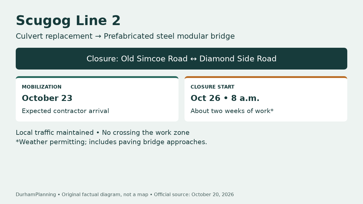
Scugog’s October 20, 2026 notice announces replacement of a Scugog Line 2 culvert with a prefabricated steel modular bridge. The work changes an important local access arrangement: the road will close to through traffic between Old Simcoe Road and Diamond Side Road starting at 8 a.m. on October 26, 2026.
The Township says local traffic will be maintained, but vehicles will not be permitted to travel through the construction zone. Those statements are compatible. A property may retain local access while the road stops functioning as a route from one end of the closure to the other.
The work and its timetable
The culvert is approximately 1.35 kilometres east of Highway 7/12. Northern Mat & Bridge has been contracted to carry out the replacement. Contractor mobilization is expected on October 23, with the installation planned for the week of October 26.
The Township expects installation to take approximately two weeks, weather permitting, including paving of the bridge approaches. It does not provide a fixed reopening date. Avoid converting the approximate duration into a guaranteed day when arranging a delivery or scheduling work at a nearby property.
The bridge is prefabricated. The Township identifies a lower price and quicker installation as reasons for that approach, but the notice does not state a contract price, loading limit or detailed engineering specification. This article therefore does not infer those figures.
Plan for access from the correct side
Before sending a contractor, courier or visitor, confirm how the destination can be reached without crossing the work zone. The notice does not publish a property-by-property approach plan or a specific signed detour in its text. Follow posted controls and check current official traffic information rather than inventing a shortcut.
Our roads and development access guide helps separate temporary road access from longer-term development questions. The property planning checklist can help record site constraints, while the planning contacts directory helps identify the appropriate authority for a property-specific enquiry.
A public works notice, not a development approval
The announcement establishes the planned replacement and construction access restrictions. It does not approve nearby housing, a new private entrance or changes to drainage on an adjoining lot. Those are separate questions that require their own review.
For practical planning, keep three dates distinct: the October 20 source notice, expected mobilization on October 23 and the closure beginning at 8 a.m. on October 26. Recheck the Township’s notice and current traffic information before travelling, particularly if weather changes the approximate two-week construction window.
Sources and verification
Verified October 21, 2026 against the official first-party source. The original factual diagram is not a geographic map or engineering design.
DurhamPlanning.com is an independent information site, not an official government website. Information can change and is not a guarantee of approval or current requirements. Confirm property-specific questions with the relevant municipality, Durham Region and conservation authority where responsibilities overlap.